

§ Service area · Grayson · Fannin · Cooke
Drone mapping in Sherman–Denison
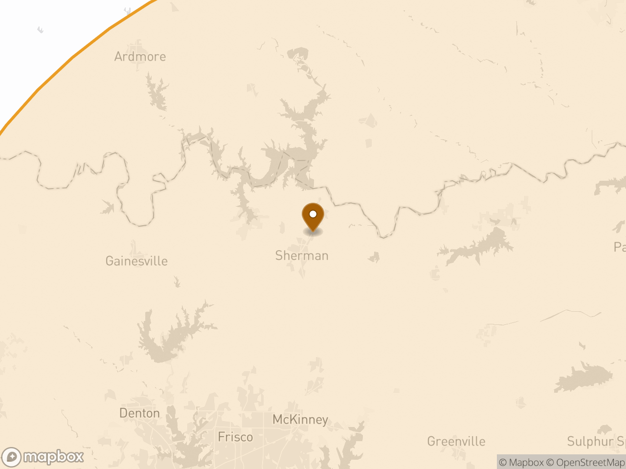
Growth-corridor work along US 75 — pad sites, subdivisions and infrastructure ahead of development. Open terrain and light vegetation make this some of the cleanest photogrammetry ground in the service area.
- Distance from base
- 48 mi from Caddo Mills, TX
- Counties
- Grayson · Fannin · Cooke
- Mobilization
- Quoted per site
- Base
- Caddo Mills, TX
What matters here specifically
§ Local notes- 01Open, lightly grassed sites — good conditions for tight vertical accuracy
- 02Airspace is straightforward outside the immediate airport environment
- 03Recurring progress work is common on the larger corridor jobs
Airspace in this region
§ AirspaceClass G with Class D around North Texas Regional. Authorization is our responsibility and is included in the quote — the airspace reference explains how grid ceilings work and when they affect a schedule.
What we do in Sherman–Denison
§ ServicesEarthwork takeoffs
Quantity report · cut/fill map
72 hrAerial topographic mapping
Surface · contours
72 hrMachine control models
Topcon · Trimble · Leica
72 hrProgress documentation
Ortho · PDF report
at requested intervalsConstruction staking
Stakes on site · staking files
scheduled to your date
Other regions
§ NearbyBidding a job in Sherman–Denison?
48 mi from Caddo Mills, TX · on site within 48 hours of a go-ahead