

§ Service area · Dallas · Tarrant · Collin · Denton
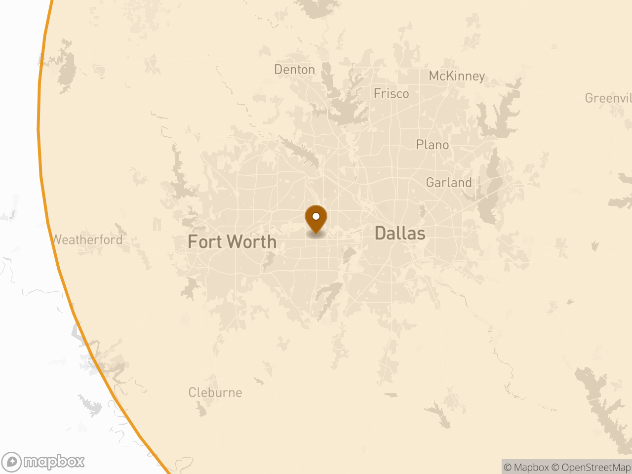
Drone mapping in Dallas–Fort Worth
Dense commercial and industrial work — pad sites, distribution, retail, and roadway improvements. Also the airspace-heaviest part of the service area, which is why the site address matters early here more than anywhere else.
- Distance from base
- 53 mi from Caddo Mills, TX
- Counties
- Dallas · Tarrant · Collin · Denton
- Mobilization
- Quoted per site
- Base
- Caddo Mills, TX
What matters here specifically
§ Local notes- 01Most sites sit under a Class B shelf — LAANC covers the majority of grids
- 02Zero-ceiling grids exist near the approach corridors; those need lead time
- 03Active sites are routine; flight windows are coordinated with the superintendent
Airspace in this region
§ AirspaceClass B shelves from DFW and Love Field over much of the metro; Class D at the satellite fields. Authorization is our responsibility and is included in the quote — the airspace reference explains how grid ceilings work and when they affect a schedule.
What we do in Dallas–Fort Worth
§ ServicesEarthwork takeoffs
Quantity report · cut/fill map
72 hrAerial topographic mapping
Surface · contours
72 hrMachine control models
Topcon · Trimble · Leica
72 hrProgress documentation
Ortho · PDF report
at requested intervalsConstruction staking
Stakes on site · staking files
scheduled to your date
Other regions
§ NearbyBidding a job in Dallas–Fort Worth?
53 mi from Caddo Mills, TX · on site within 48 hours of a go-ahead