

Earthwork takeoffs
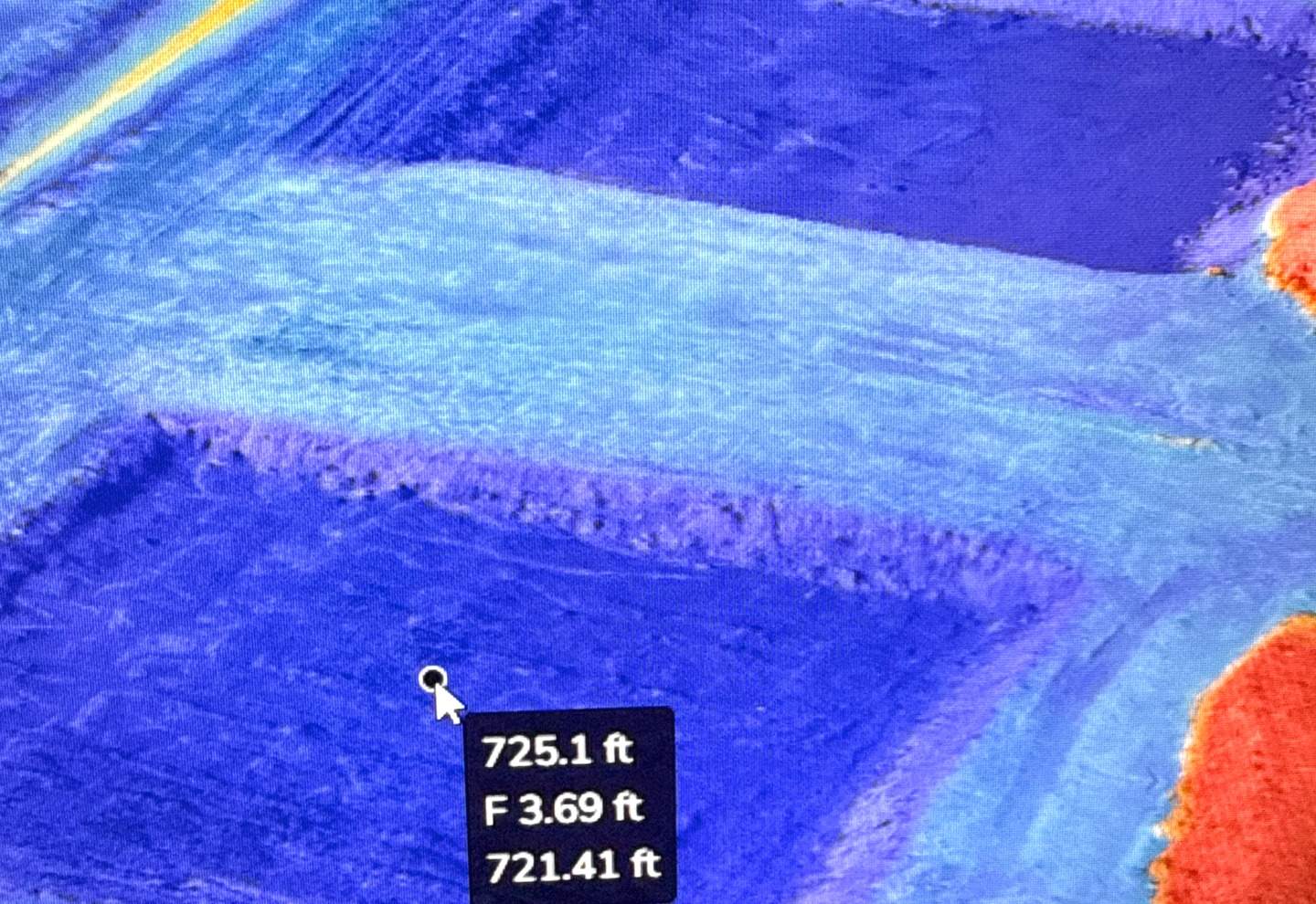
Cut and fill quantities from your proposed plans compared against the existing conditions of the property — delivered as a quantity report and a cut/fill map.
Send the plan set, the bid date and the existing-conditions data you have. We compare the proposed surface from your plans against the existing conditions of the property and send back a quantity report and a cut/fill map — typically within 72 hours. No existing topo for the site? We can map it first.
- Delivered as
- Quantity report · cut/fill map
- Turnaround
- 72 hr
- Method
- Plans + existing conditions
- Accuracy
- Typically within 3%
Need a machine control model or staking files off the same plans? Ask for them together. Send the plans on their own →
What you get
§ Deliverables- Cut/fill quantity report
- PDF, broken out by area so you can price phases separately
- Cut/fill map
- PDF — shows the estimator where the dirt actually is
What we need from you
§ Inputs- 01A PDF set of plans
- 02The bid due date
- 03Existing-conditions data — a topo from your surveyor or engineer, or we map the site
- 04Site limits, or the parcel and cross streets
How it runs
§ Process- 01
Plan set review
We read the sheets and flag anything missing before quoting, not after.
- 02
Existing conditions
From the topo you provide — or we map the site: AeroPoints deployed as ground control and tied in using existing control data.
- 03
Comparison
The proposed surface from your plans compared against the existing conditions of the property.
- 04
Delivery
Quantity report and cut/fill map by email.
Questions we get
§ FAQ- How fast can I get quantities back?
- Typically within 72 hours of a complete plan set and existing-conditions data. Rush is quoted per job rather than at a published premium. The quote states the date for your specific project.
- How accurate are the quantities?
- Usually within 3%. The result depends on the quality of the plans and the existing-conditions data provided, which is why we review the set and flag gaps before quoting.
- Do you need to fly the site?
- Not for the takeoff itself — it is a comparison of your plans against existing conditions. If there is no current topo for the site, we can map it first and quote that alongside.
- Is this a survey?
- No. A takeoff is a quantity comparison for estimating and planning. Boundary, easements and plats require a Texas-licensed professional land surveyor.
Other services
§ AlsoAerial topographic mapping
Surface · contours · 72 hr
Machine control models
Topcon · Trimble · Leica · 72 hr
Progress documentation
Ortho · PDF report · at requested intervals
Construction staking
Stakes on site · staking files · scheduled to your date
Bidding a earthwork takeoffs?
Send the plan set — the form already knows what this job needs.